Facebook
 Google
 GitHub
 Linkedin
After the Flight: Why Drone Inspection Is Only Half the Job
Maximizing the value of aerial PV inspections requires integrating thermal data into structured post-flight workflows, data prioritization, and targeted ground diagnostics.
The case for drone-based inspection in solar maintenance was never really in doubt. Limited access, thousands of panels—the productivity argument made itself. At this point, getting the thermal survey done is the straightforward part. The harder piece is triaging what comes back. You need to work out which findings need immediate electrical follow-up, which can wait, and how to get a technician to the right location with the right information. That's where inspection programs start to separate. The ones delivering real value have built a clear process around what happens after the drone lands.
From Survey to Shortlist
A thermal flight can narrow a vast site down to the few areas worth a closer look. That much is well established. The more interesting question is what you do with the findings once you have them. Not every finding carries the same electrical consequence, and ranking them is where the software earns its value.
A hotspot on a single module is a different order of problem from an offline string or a stuck tracker. A good back-end platform will rank them accordingly—quantifying likely production impact so your team knows where to start, rather than chasing heat signatures across the site.
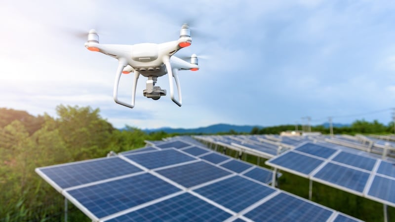
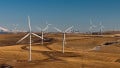
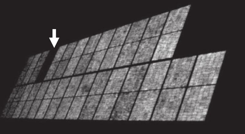
Drone-based inspections can capture a lot data that can inform maintenance decisions. Image used courtesy of Adobe Stock
Think of it this way: a drone takes square miles of problems and concentrates them into a manageable list. Without that prioritization layer, you're essentially sending technicians out to investigate everything. With it, they arrive with a clear starting point and a reasonable sense of what they're dealing with.
That's the dual value drones have brought to large PV operations: faster detection, yes, but also better triage. Recent NREL work found strong alignment between aerial IR findings and corresponding time-series power data, making follow-up even more targeted. The flight doesn't just tell you something's wrong. It tells you roughly how wrong and where to look first.
Detection Is Not Diagnosis
A down string shows exactly where the drone's usefulness ends. From the air, the pattern may be obvious – a run of hot modules, a section of the array no longer behaving like the rest. That still leaves the real question unanswered. Is it a burned connector between modules? A blown fuse? Did a squirrel chew through the cable? The drone can't tell you; it just says the string's out.
That's the gap between detection and diagnosis. The drone narrows the search area quickly, but it cannot tell the technician which failure mode they're walking into. That still requires boots on the ground: visual inspection, voltage and current measurements, I-V curve testing, and ground-fault location. The research on thermal fault detection reflects this. Honestly, interpretation remains difficult because thermal patterns are affected by environmental noise, subtle anomalies, and false positives. The flight gives you a better starting point, not a finished diagnosis.
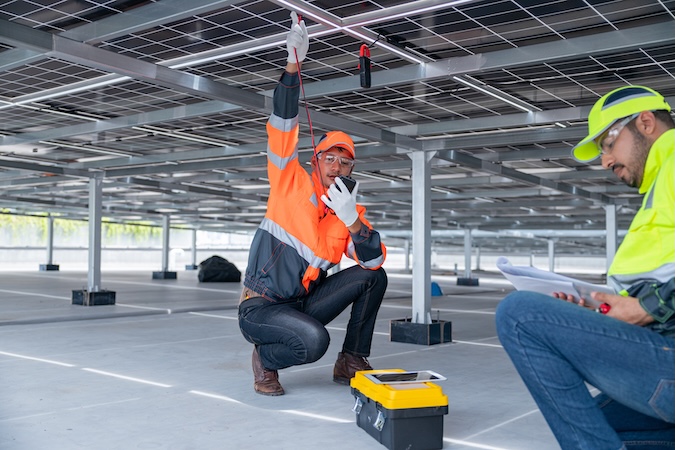
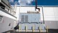
Closing the gap between detection and diagnosis still requires experts on-site. Image used courtesy of Adobe Stock
The drone doesn't remove troubleshooting. It changes where troubleshooting starts. Instead of searching the site for the problem, the ground team arrives at a specific location with a reasonable hypothesis – but still has to prove the cause before the repair is clear.
Inspection Without a Workflow Is Just Data
A good drone-led workflow starts before the flight. If the survey has no structure behind it, the findings won't either. Good programs treat inspection as a cycle:
- Regular flights
- Consistent processing
- Issues ranked by likely production impact
- Technicians dispatched to specific locations with a clear brief.
Each survey should be comparable to the last, so the site can tell the difference between a one-off finding and something that keeps recurring.
How often you fly depends on the asset. Annual inspection may be enough to establish broad conditions on a stable site. On others the interval needs to be shorter, particularly where you're tracking recurring defects or trying to stay ahead of production loss. Frequency matters less than consistency and follow-through.
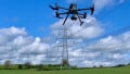
You can see where this is heading with drone-in-a-box systems. The drone lives on site in a weatherproof housing, launches automatically, flies a preset route, and transmits data back for processing with minimal manual handling. Units were running $50–60k last year; that cost is coming down. It makes it easier to deploy a survey when the site actually needs one rather than waiting for the next scheduled campaign.
Land-based platforms are adding another dimension. Nextpower has moved into ground-based robotic inspection. These AI-enabled systems covering angles an aerial survey can't reach. It's early, but it points toward a more complete picture of asset condition from automated systems.
SolarPower Europe's 2025 Operation & Maintenance (O&M) best practice guidelines put the discipline in context – the latest edition expanded its maintenance and data management coverage and added a chapter on common tests and inspections. The underlying point is straightforward: inspection data only creates value when there's a process built around acting on it.
The Industry Stopped Talking and Started Building
The automation conversation in solar O&M has shifted noticeably over the past few years. At industry gatherings, the discussion moved from labor shortage to AI and machine learning augmentation. How do you get more from the people you have rather than finding people you don't?
Then it went quiet. Not because the problem went away, but because operators started actually implementing rather than just talking about it. They're not sharing what they're doing because they don't want to hand competitors a roadmap.
That context matters for how you read drone development. Systems must deploy when the site needs them rather than on a fixed schedule. This increased autonomous inspection capability fits directly into the augmentation logic.
Imaging is widening too. Thermal remains the workhorse, but electroluminescence (EL) testing is gaining ground as a complementary aerial diagnostic. Historically, EL has been a dark-conditions, lab-first technique. This is not practical at utility scale without taking modules out of service.
That constraint is easing. Recent work on daylight EL has demonstrated full-string assessment on site under irradiance conditions, without disassembly. It's in the field now, though cost still limits widespread adoption.
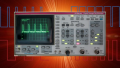
Newer techniques, like daylight electroluminescence, can provide insights into solar array performance. Image used courtesy of Carpintero et al, in Solar Energy
The trajectory is familiar. EL is roughly where thermal imaging was twenty years ago—a $50,000 capability working its way toward something every O&M team can justify. When it gets there, the diagnostic picture from an aerial survey will be considerably richer than it is today.
More Data Won't Close the Gap
Drone inspection is already part of the operating model on large solar sites. That's no longer the interesting question. The programs genuinely reducing downtime have one thing in common: a maintenance cycle built around the findings, not just the flight. The imagery is only as good as the process it feeds.
As inspection becomes more automated and imaging becomes more detailed, that gap will widen. The sites that have built that discipline around aerial data will get more from better tools. The ones that haven't will just get more data.